




Cadastre
The cadastral drawing: what it is and when you need it
A cadastral drawing records the boundaries, dimensions and position of a plot precisely. Accurate data saves you from future problems.
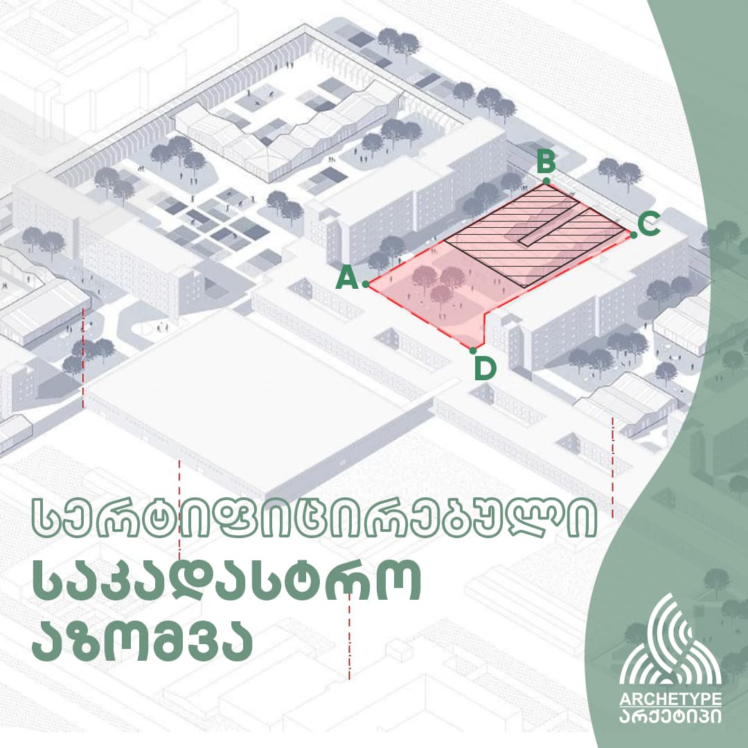
A cadastral drawing records the boundaries, dimensions and position of a land plot precisely.
Cadastral services cover
- Surveying plot boundaries
- Verifying the area
- Splitting and merging plots
- Registering the plot
- Preparing a certified cadastral drawing
- Determining points and coordinates
- Processing data with modern GIS and surveying technology
When it is required
A cadastral drawing is required for land registration, boundary clarification and various legal or construction procedures. Accurate data saves you from future problems.